A New Era for Urban Planning
By 2050, nearly 7 out of 10 people will live in cities (UN-Habitat). This means billions more residents will depend on planners to deliver housing, infrastructure, transport, and green space. But as cities expand, the complexity of zoning rules, environmental regulations, and urban policy frameworks increases dramatically.
Traditional planning methods — thick zoning books, static maps, and endless reports — no longer match the speed of urban change. Residents struggle to understand how policies affect their neighborhoods, developers face uncertainty, and governments risk delays.
AIRIlab steps into this gap. Built as an AI platform for the built environment, it extends its architecture-first intelligence into urban-scale planning. The result? Zoning and policy visualizations that make sense to everyone — from policymakers to citizens.
Why Zoning & Policy Are Hard to Visualize
Urban planning has always suffered from a communication problem.
- Policies are text-heavy
A single zoning reform can stretch hundreds of pages. It’s accurate for lawyers and planners, but inaccessible to residents or investors. - Maps lack experiential context
A 2D zoning map shows boundaries, but it can’t tell you how a mid-rise building will cast shadows, block views, or affect pedestrian flow. - Scenario modeling is slow
Testing what happens if you increase FAR, relax parking minimums, or add green corridors often requires days of manual modeling.
The result? Cities make rules for decades of growth, but struggle to show what those rules will actually look like.
AIRIlab: Turning Rules Into Visual Reality
AIRIlab brings AI-powered design intelligence to urban policy, bridging the gap between text, maps, and lived experience.
-
From Text to Model
Planners input zoning regulations, density rules, or design guidelines into AIRIlab. The AI interprets the policies and creates visual previews or urban-scale scenario mockups that reflect what the rules allow. -
Real-Time Scenario Exploration
Instead of months of back-and-forth, planners can instantly test scenarios:- What if we allow mid-rise instead of low-rise?
- How would increased FAR affect green space?
- What if we incentivize mixed-use development?
-
Policy Made Visual for Stakeholders
Instead of reading an abstract policy, a resident sees what their street could look like. Instead of debating in numbers, a council sees side-by-side visual options of density, open space, and infrastructure.
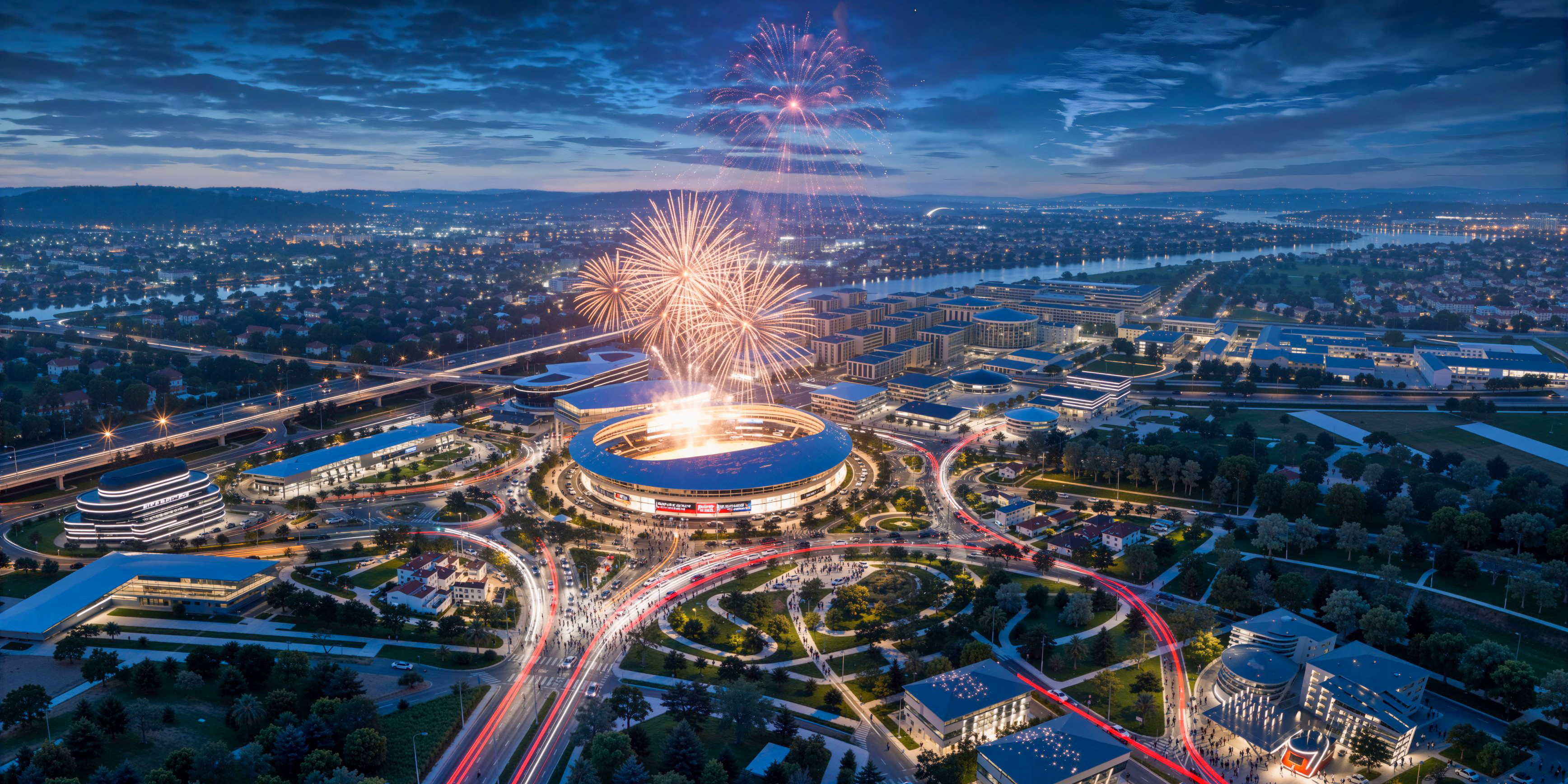
Illustrative Scenarios: What Policy Visualization Could Look Like
Scenario 1: Zoning Reform in Europe
Imagine a mid-sized European city exploring updates to allow mixed-use housing near transit.
Old Approach: Consultants spend months preparing static diagrams, but residents leave public hearings confused about what density ratios mean.
With AIRIlab: Planners generate three scenarios — strict, moderate, and flexible zoning — showing how each affects streetscapes and open space. Citizens respond to visuals, not vague numbers.
Scenario 2: Smart City Development in Asia
Consider a Southeast Asian city designing a new smart district with sustainable mobility.
Old Approach: Transport simulations and environmental reports take months before decision-makers see a clear picture.
With AIRIlab: Planners instantly visualize options for bike lanes, transit hubs, and renewable energy layouts — helping councils compare alternatives faster and align stakeholders.
Scenario 3: Density Debates in North America
Think of a fast-growing US metro facing pressure to increase housing supply.
Old Approach: Public meetings stall over technical terms like FAR or shadow diagrams hidden in reports.
With AIRIlab: Planners show side-by-side visuals — low-rise, mid-rise, and high-rise versions of the same block — with shadow and traffic impacts. Discussions shift from speculation to evidence.
Why These Scenarios Matter
These examples aren’t tied to one project; they illustrate how AI urban planning tools can work in practice. The message is simple: when zoning and policy become visual, everyone — from residents to policymakers — makes better decisions.
Why Visual Policy Matters
- Better Citizen Engagement
People participate more when they understand the impact. A shadow study is far clearer than a FAR ratio. - Developer Alignment
Developers know exactly what is permitted, reducing disputes and project delays. - Faster Decision-Making
City councils approve reforms faster because everyone sees the same thing. - Data-Driven Sustainability
Scenarios include carbon impact, mobility flows, and energy demand — aligning with global SDGs.
Beyond Zoning: The Next Generation of AI Urban Tools
- Climate Resilience
Simulate tree canopies, heat-island effects, or flood resilience. - Mobility Integration
Visualize EV charging, pedestrian zones, and transit-oriented development. - Green Infrastructure
Assess how green corridors and sustainable layouts integrate into urban policy. - Digital Twins
Link citywide datasets to AI-powered digital twins for real-time updates.
AI and Planners: A Collaborative Future
AI isn’t here to replace urban planners. It’s here to act as a co-pilot:
- AI handles heavy lifting: generating models, testing density, rendering visuals.
- Planners provide judgment: balancing social, political, and cultural needs.
Think of AIRIlab as an AI design assistant for cities — it accelerates modeling, but the vision remains human.
The Urban Planning of 2030
- Zoning text → faster AI-driven visual previews
- Public hearings → interactive visualization sessions
- Approvals → automated impact reports with visuals and metrics
Cities that adopt early gain trust and agility. Those that wait risk falling behind in outdated processes.
Conclusion: From Words to Shared Vision
Urban planning has always been about reconciling ambition with regulation. The failure wasn’t in vision — it was in communication.
With AIRIlab, zoning codes and urban policies transform from static words into living, visual experiences. For the first time, policymakers, architects, developers, and residents can all see the same city of tomorrow — today.
Explore how AIRIlab supports urban planners at Solutions or learn more at Company.